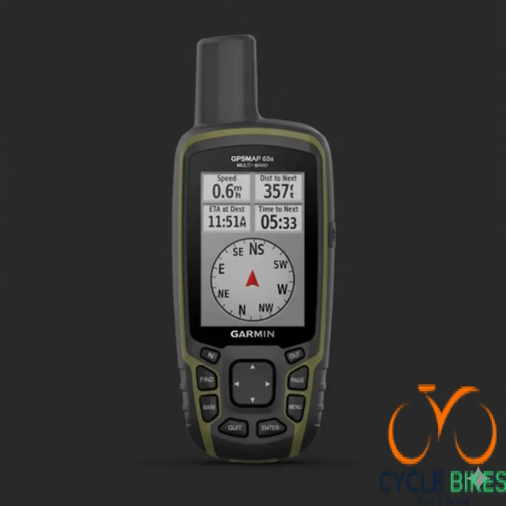
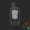
GPSMAP-65S Multi Band Africa


KSh65,000.00
-
Multi-Band GNSS Support: Enhanced accuracy with GPS, GLONASS, Galileo, QZSS, and IRNSS.
-
Preloaded TopoActive Africa Maps: Detailed terrain and route information across the continent.
-
2.6″ Sunlight-Readable Display: Clear visibility in various lighting conditions.
-
ABC Sensors: Built-in altimeter, barometer, and 3-axis electronic compass.
-
16-Hour Battery Life: Operates on 2 AA batteries (NiMH or Lithium recommended).
-
Rugged Design: IPX7 water rating and MIL-STD-810G compliance.
-
Smart Notifications: Receive emails, texts, and alerts when paired with a compatible device.
-
Garmin Explore™ Compatibility: Plan, review, and sync waypoints, routes, and tracks
📋 Full Specifications
General
-
Model: Garmin GPSMAP 65S
-
Part Number: 010-02451-12
-
Dimensions: 6.1 x 16.0 x 3.6 cm
-
Weight: 217 g (with batteries)
-
Water Rating: IPX7 (waterproof up to 1 meter for 30 minutes)
-
Operating Temperature Range: -20°C to 60°C
-
Storage Temperature Range: -40°C to 70°C
Display
-
Size: 2.6″ diagonal
-
Resolution: 160 x 240 pixels
-
Type: Transflective, 65K color TFT
Battery
-
Type: 2 AA batteries (NiMH or Lithium recommended)
-
Battery Life: Up to 16 hours
Memory
-
Internal Memory: 16 GB (user space varies based on included mapping)
-
MicroSD™ Slot: Supports up to 32 GB microSD™ card
Satellite Systems
-
Supported Systems: GPS, GLONASS, Galileo, QZSS, and IRNSS
-
Multi-Band Frequency Support: Enhanced accuracy in challenging environments
Sensors
-
ABC Sensors:
-
Altimeter: Provides elevation data
-
Barometer: Monitors weather changes
-
3-Axis Electronic Compass: Offers accurate heading information
-
Connectivity
-
Wireless Connectivity: Bluetooth® and ANT+®
-
Smart Notifications: Receive emails, texts, and alerts when paired with a compatible device
-
Garmin Explore™ Compatibility: Plan, review, and sync waypoints, routes, and tracks
Mapping & Navigation
-
Preloaded Maps: TopoActive Africa maps
-
Geocaching: Paperless geocaching with automatic cache updates from Geocaching Live
-
Route Planning: Supports up to 200 routes, 250 points per route
-
Track Log: 10,000 points, 200 saved tracks
-
Waypoints/Favorites/Locations: 5,000
Additional Features
-
Hunt/Fish Calendar: Provides optimal times for hunting and fishing
-
Sun and Moon Information: Displays sunrise and sunset times
-
Area Calculation: Measures areas
-
Picture Viewer: View images


Reviews
There are no reviews yet.